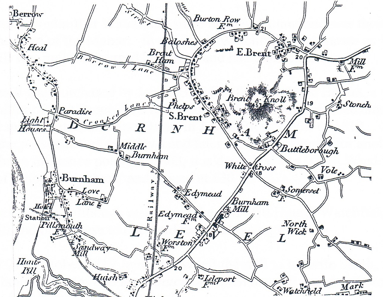
The Windmill, which stood on a mound to the south east of the main Bristol Road (A38) was possibly the last post mill to work in Somerset (Rita Probert – see below). It is understood that a farmhouse and barns were also on the site which is shown in the map of 1809 below. The early spelling of ‘Edymead’ is used and the mill is shown as ‘Burnham Mill’

From ‘Beyond The Shadows’ a study of three local families by Rita Probert:
“There is no indication of when the mill was finally demolished or why. A fire has been mentioned but not corroborated. What is known is that by the 1930’s all that remained were one or two large stones on top of a mound (the latter still exists). there is evidence of a ring of stones asking the track round which the tailpipe was pushed or pulled to wind the mill.
It has been described as an open trestle post mill constructed of wood with a stone base. It appears to have been last used in the latter part of the 19th century and after it was demolished the oak post was converted into a roller for the land.
The last miller was Joseph Blew a somewhat colourful and complex character.
Despite numerous enquiries and research in the area unfortunately no photographs or prints of either mill or farmhouse can be traced. In a map c.1890 the site is marked ‘Blew’s Mill’ and farm buildings, no longer remaining, are clearly marked a short distance from the mill.
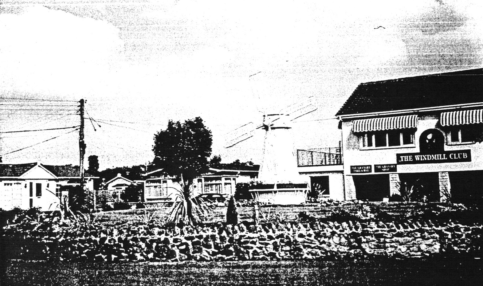
Later the area became the Edithmead Dairy and is currently a holiday caravan park. A model windmill stands on the mound and site of the original mill and the entertainments centre is called ‘The Windmill Club’.


Today I saw for the first time the name of Blew’s farm and after reading your article above you mention a Joseph Blew. As this is a very unusual name I wondered if there is any local history regarding the family.
I share the name Blews and as far as I am aware all Blews in the uk are known to our family, I am very curious to see if there is a local link. We moved to North Somerset some 19 years ago and most of the family are Midlands based,
If anyone has any information would be nice to know
Hello Jan,
Not sure I can help with this but maybe one of our readers can?
John
Thank you Nigel – I have found more detail of the Mill from a map of 1782 of the road from Huntspill to Axbridge via Mark and shows this mill and others in the area; at Burnham (the olde Brewery), Huntspill, Highbridge, South Brent, East Brent. The map is headed “Bowles’s Post Chaise Companion” – another map of unknown origin shows the same mills c.1765 – but I will have to confirm this last date.
Is there anything in motion to project Steart History? I ask because I am collecting detail on the peninsular’s existence and the people who lived there.
Roy
Do you have a copy if the 1765 or 1782 map or could you possibly say where you found it if online please thank you
Hello Philip. I will search through my files. Most are digital copies given by local residents. It might take a while for me to given the answer to your question.
John
This mill is rightly as it says on the map “Burnham Mill” and always has been. Also the area is “Burnham Without” of which the Hamlet of Edithmead is part of. Not really Edithmead Mill. I have a bit more history of this somewhere which I will look out and display asp…..
Thanks for that clarification Roy. I will now change that page heading to reflect the correct name of the mill when it was in operation rather than the name by which we now know the area where it stood. Any more information you have which we could add to the page in due course would be welcome.