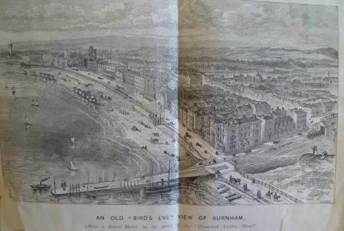
This image appeared in the Bridgwater Mercury Burnham Visitors list for 1890 but is also attributed to an Artist of the London Illustrated News .
![](http://www.captureburnham.co.uk/wp-content/uploads/freshizer/da50eff0c58313fbf6a60c1f1ba2be84_Aerial-drawing--500.jpg)
If you place the curser over an image a magnifier glass will appear. Move your curser to the area of interest to you. To increase or decrease the magnification move the yellow slide bar.
![Burnham Town and Esplanade when viewed from the North West. The following images were taken by Mr Gordon Salter in August 2014.](http://www.captureburnham.co.uk/wp-content/uploads/freshizer/be8def93a71b9a029ec234ded6451ecb_100_0186W-1024x575-500.jpg)
![South Esplanade and River Brue](http://www.captureburnham.co.uk/wp-content/uploads/freshizer/3b8157193f7616494f4e9518c7cc6180_100_0189W-500.jpg)
![North Burnham showing the High and Low Lighthouses. The Low Lighthouse had two lights in early times. The second one showing toward the mouth of the river Parrett to direct safe passage towards Bridgwater](http://www.captureburnham.co.uk/wp-content/uploads/freshizer/86972f9ae4ebc681348b2b6b00a77a60_100_0181W-500.jpg)
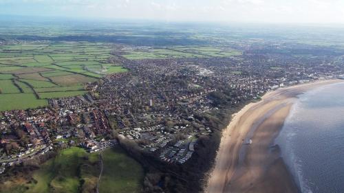
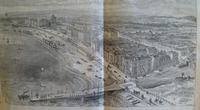
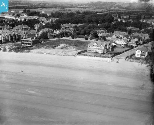
OLDER PICTURES -some dates yet to be established
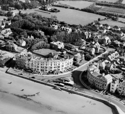
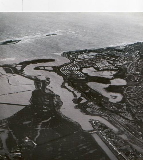
Next picture taken 1981
![Taken 13 December 1981](http://www.captureburnham.co.uk/wp-content/uploads/freshizer/94448921e027626bcc9c42de7927b782_Dec-13-1981-500.jpg)
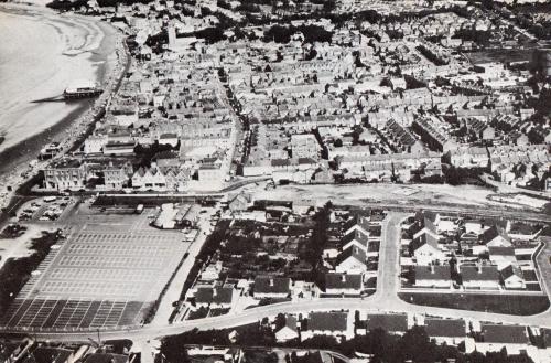
Next picture from Burnham on Sea Guide around 1967. Note station now demolished:
![](http://www.captureburnham.co.uk/wp-content/uploads/freshizer/daf75b22237f96a0def95ee556bd797b_Burnham-Aerial-500.jpg)
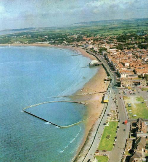
Next picture from the same Guide. Note remains of Marine Lake:
![](http://www.captureburnham.co.uk/wp-content/uploads/freshizer/3306a034411806e7dc5fe823f7ffa448_Marine-Lake-Aerial-500.jpg)
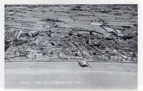
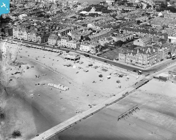
Next picture from Burnham on Sea Guide 1957. Note old St Andrew’s School buildings behind pavilion:
![](http://www.captureburnham.co.uk/wp-content/uploads/freshizer/5ee8ad840bc4b509a1d51fc349b00f65_Aerial-View-500.jpg)
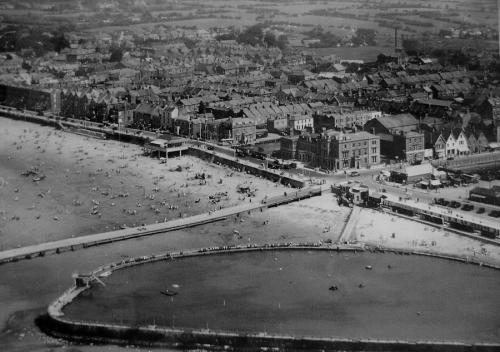
Next picture: Marine Lake in its heyday
![The Marine Lake is in the foreground](http://www.captureburnham.co.uk/wp-content/uploads/freshizer/a114d85622d3007167cc9d0774b9fb64_Marine-Lake-1-500.jpg)
Next picture from Burnham on Sea Guide 1930’s:
![](http://www.captureburnham.co.uk/wp-content/uploads/freshizer/7e29760333b165ba91d6c9f270528985_burnhamofyesteryear3-500.jpg)
Next picture: the high lighthouse
![](http://www.captureburnham.co.uk/wp-content/uploads/freshizer/37ec1d73104bfe87ae16a985845e128a_1929-500.jpg)
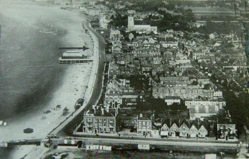
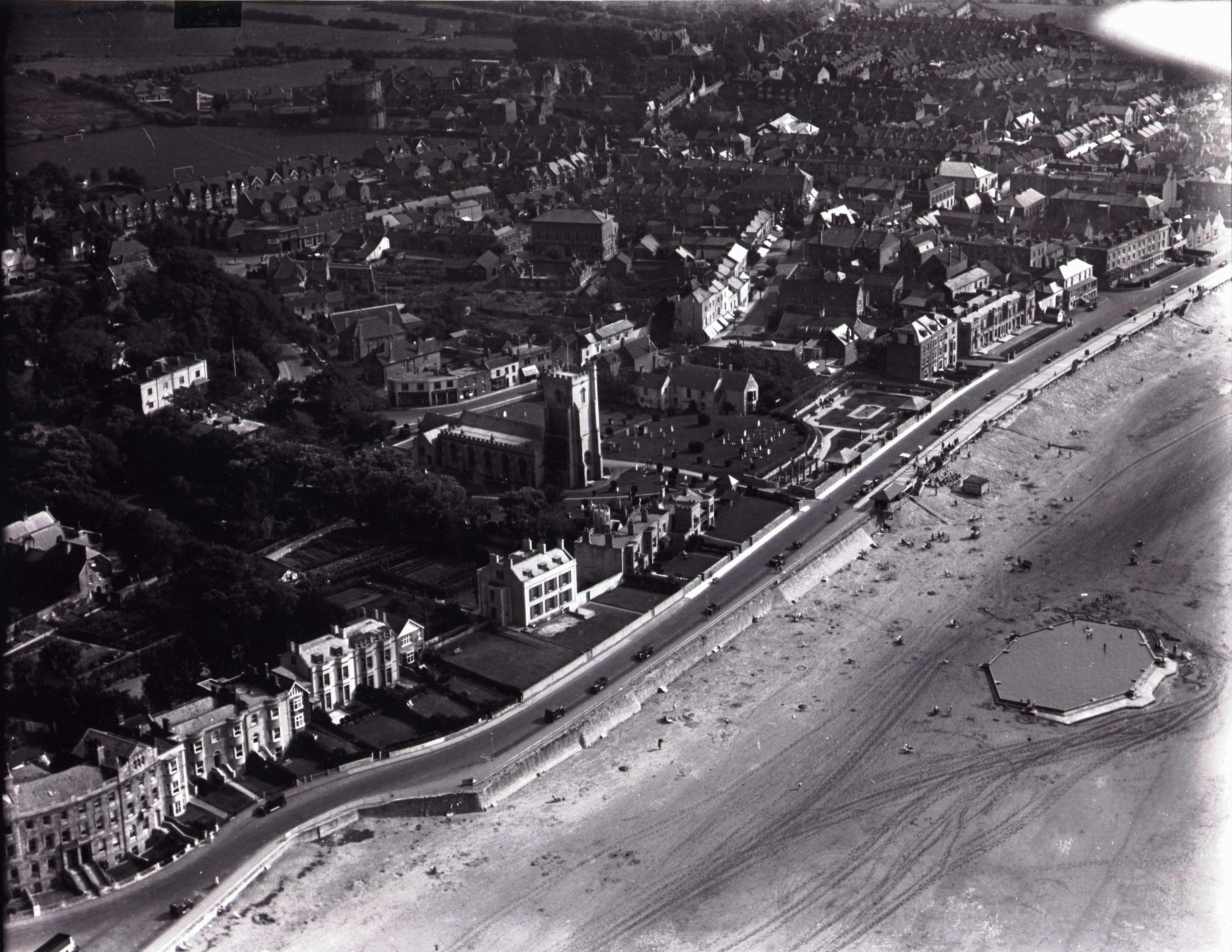
Next picture: the building in the foreground is St. Margaret’s School.
![The building in the foreground is St Margaret’s School.](http://www.captureburnham.co.uk/wp-content/uploads/freshizer/3b67f10c45bf98d24c146174f6fcb67e_EPW027965-500.jpg)
Next picture: before Marine Lake. Note the bathing machines and the lawn where the amusement arcade now stands, with the new Electric Cinema building (now the market hall) at its eastern end.
![](http://www.captureburnham.co.uk/wp-content/uploads/freshizer/a009566119f53e4cbb6a8e89b9cb0632_EPW027966-700.jpg)
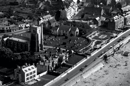
View of Church, Marine Cove and Victoria St early 1930’s (note single storey Post Office, Lifeboat Pavilion on site now occupied by Ritz Cinema, Freddie Fay’s Frolics performing on the beach and Char-a-bancs waiting in front of Marine Cove). Photo courtesy of Ann Popham.
![](http://www.captureburnham.co.uk/wp-content/uploads/freshizer/3b44be6c8b1d231a0fa083c9e47ac927_Aerial-view-of-Church-1930s-scr-500.jpg)
Below: Sea View Rd; Julia & Catherine Terraces and Blencathra
![](http://www.captureburnham.co.uk/wp-content/uploads/freshizer/a0f69d100ad3deeedf6ddcb6175b9dea_Blencathara-aerial-500.jpeg)